Puebla Mapathon 2026
In June 2026, PoliMappers kicked off an exciting collaboration with the Faculty of Architecture of the Benemérita Universidad Autónoma de Puebla, in Mexico. Moisés Ernesto Sánchez Castro, research at BUAP, involved the group in the organisation of an introductory course to OpenStreetMap, designed by PoliMappers members (Federica Gaspari, Dina Jovanovic, Huy Nguyen). Participants of the course will learn the main concept of OpenStreetMap, as a project, as a database and especially as a community of volunteers. At the end of the 4 week-long program, a mapathon dedicated to the completion of the building mapping in the area of Puebla will take place.
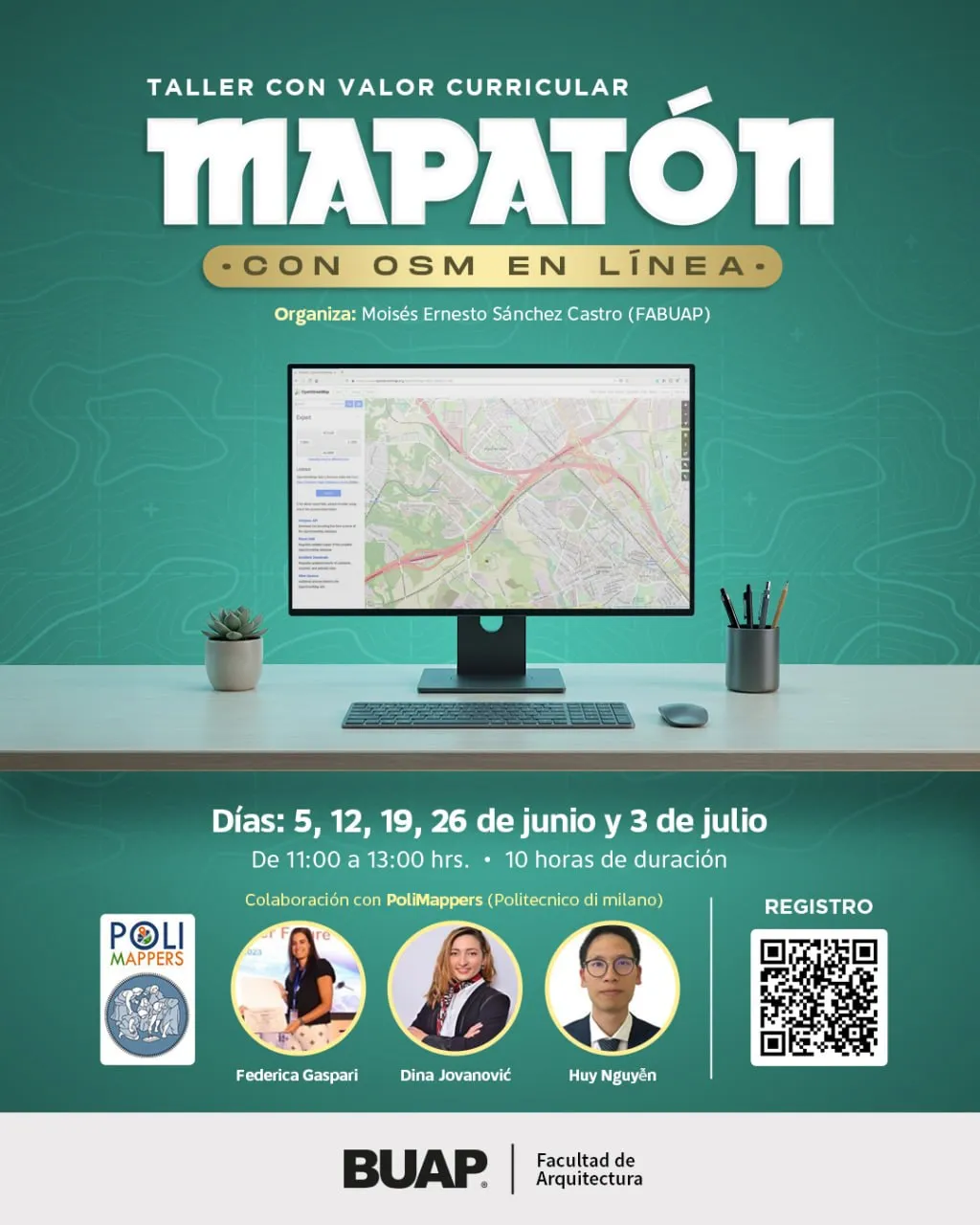
Course plan:
- Introduction to OpenStreetMap (OSM), June 5th: Main concept of Volunteered Geographic Information, Open Data, History of OpenStreetMap and basic elements of GIS for contextualisation, creation of personal OSM account.
- Editing tools, June 12th: Introduction to ID editor, examples of editing and complex issues (e.g. changing basemap, unaligned object features, common practices for collaborative environments), concepts of edits and changeset. Light introduction of mobile mapping tools (StreetComplete and EveryDoor), advanced editing tools (JOSM) and gamified dashboards (MapRoulette).
- Objects to Map, June 19th: OSM data model (node, line, closed line, relationship and tag), WikiOSM, practical examples for buildings and urban features.
- Puebla 2026 Mapathon, June 26th: access to Tasking Manager, how Tasking Manager work, how to contribute on your own and manage your edits.
- Use of information, July 3th: how validation work after mapathon, how to download such data, how to keep track and document the activity (WikiOSM), how to connect with the local community
After the third session, the participants actively contributed to the mapping of Puebla City in Mexico by mapping on Project #52971 on HOT Tasking Manager.